
Alton ZIP Directory Coverage
Official sources support one principal Alton postal area for the ZIP code directory. The incorporated city uses 62002 on City Hall and department addresses. USPS material identifies the Alton Post Office on Belle Street. The postal area may extend past the incorporated boundary, so a 62002 address is not automatic proof that the parcel lies within Alton city limits. No official source in the research established a second delivery ZIP inside incorporated Alton.
| ZIP Code | Areas Covered | Post Office | Notes |
|---|---|---|---|
| 62002 | Alton postal area | Alton Post Office, 727 Belle Street | Postal coverage may cross the incorporated boundary; verify each address |
This one-row table reflects the verified evidence instead of padding the list with unconfirmed ZIPs. USPS is the authority for a current delivery code. Madison County GIS and the legal parcel description answer whether the land is inside a jurisdiction. City departments maintain local records by their own boundaries, not by a general postal roster.
Verify an Alton ZIP Code
The USPS ZIP Code Lookup offers three useful modes: an address can return its standardized ZIP, a city and state can return associated ZIPs, and a ZIP can return associated city names. Use the full address mode for a person or parcel. A city result is broader and cannot decide whether one street address lies inside the municipality.
Keep the normalized postal line beside the original wording. An old directory may say Alton, Upper Alton, Lower Alton, East Alton, or another local label. Modern USPS formatting should not erase that historical place name. If the ZIP and county map disagree, the postal result governs delivery while the parcel and city layers govern land and jurisdiction.
Note: No verified Alton-wide ZIP split, realignment year, E911 renumbering log, or second incorporated-city delivery ZIP was found in the official sources.
Alton ZIP Search Fields
Several official systems display or accept ZIP information, but each asks a different question. Madison County DEVNET has a ZIP box inside the owner mailing-address group. That field may return an owner whose parcel is elsewhere. Its physical parcel search uses house number, street, and city instead. The county GIS parcel layer displays a ZIP field, yet its documented public query tools focus on parcel number, owner last name, and drawn map shapes rather than a ZIP-wide search box.
| Official system | ZIP field or mode | Meaning of the result |
|---|---|---|
| DEVNET | Owner mailing ZIP | Tax-mail address match, not necessarily the parcel site |
| County GIS | ZIP shown in parcel output | Mapped parcel attribute; no documented public ZIP-wide query |
| Illinois voter lookup | Five-digit ZIP with street fields | Individual registration check, not a public ZIP roster |
| USPS | Address, city/state, or ZIP mode | Current delivery standard and associated postal cities |
| Census ZCTA | Statistical area 62002 | Population context, not exact delivery or city limits |
The distinction keeps an Alton ZIP directory from mixing owners, occupants, voters, and delivery addresses into one claim. Search only the system that answers the fact you need.
Find Alton Residents by ZIP
Finding a person within the Alton postal area requires a sequence, not a bulk ZIP list. Start with one name or address. USPS verifies delivery. DEVNET tests whether the street address belongs to a Madison County parcel and keeps site fields apart from the owner's mailing ZIP. The state voter tool can verify one person's registration under election-law limits; it does not publish every resident in the postal area.
- Enter the full current address in USPS lookup and save the standardized delivery line.
- Search DEVNET with the site house number, street, and Alton city filter. Inspect the owner mailing ZIP separately.
- Open the parcel in Madison County GIS. Compare its city, ZIP, parcel boundary, and municipal layers.
- If checking one registration, use the Illinois lookup with the name, birth date, five-digit ZIP, and street fields it requests.
- Confirm the person's identity through another dated public record rather than treating the shared ZIP as proof.
Once the postal zone narrows to a named road, the Alton street directory gives the more precise address and parcel workflow. That handoff avoids claiming that everyone who receives mail in 62002 lives on an incorporated Alton parcel.
Alton ZIP Parcel Evidence
The Madison County Chief County Assessment Office maintains assessment services, parcel identification, and cadastral maps. A cadastral map shows land parcels and their boundaries. It is more useful than a ZIP outline when the question is whether one site lies in Alton or how a tax parcel relates to the street.
Review the county assessment and cadastral-map entry shown below before moving from a ZIP to a parcel.
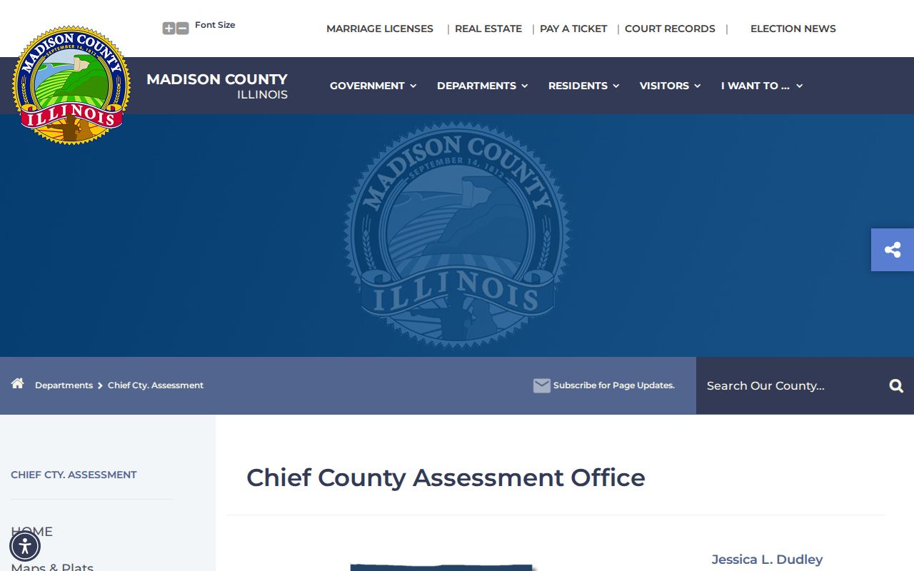
The county page supplies the official path from broad postal geography to a legal parcel and assessment record.
DEVNET's parcel number field accepts a 15-to-18-digit number. The Recorder's example, 14-2-15-10-20-303-007.001, breaks into township, land or lot, section, map, block, parcel, and split-parcel parts. Save dashed and undashed versions when switching systems. A parcel number can remain useful when an address label changes.
Alton ZIP Population Difference
The boundary mismatch is visible in federal statistics. Census data lists 30,176 people for ZCTA 62002, while the City of Alton's 2020 Census population was 25,676. A ZCTA, or ZIP Code Tabulation Area, is the Census Bureau's statistical approximation of a postal area. It is not the USPS delivery boundary and it is not the incorporated city.
That difference does not show that either count is wrong. The two figures measure distinct geographic shapes. Use city data for Alton municipal population, ZCTA data for ZIP-based statistical context, USPS for delivery, and county GIS for parcel location. The Alton ZIP code directory keeps those authorities separate so a postal search does not become a false city-resident count.
Boundary check. A 62002 mailing line can be valid even when county parcel evidence places the address beyond Alton's incorporated boundary.
Alton ZIP Voter Tools
The Illinois registration lookup uses name, birth date, a five-digit ZIP, street number, and street name for an individual check. It is not a way to download every voter in 62002. Illinois election law restricts broader voter data to authorized political and National Voter Registration Act purposes and withholds sensitive fields. Do not repeat searches to reconstruct a block or postal-area list.
The Madison County Elections office provides voter tools, maps, election results, and contact routes. Election maps describe precincts and districts, which do not have to follow ZIP boundaries.
Open Madison County election maps and voter resources represented by the captured page.
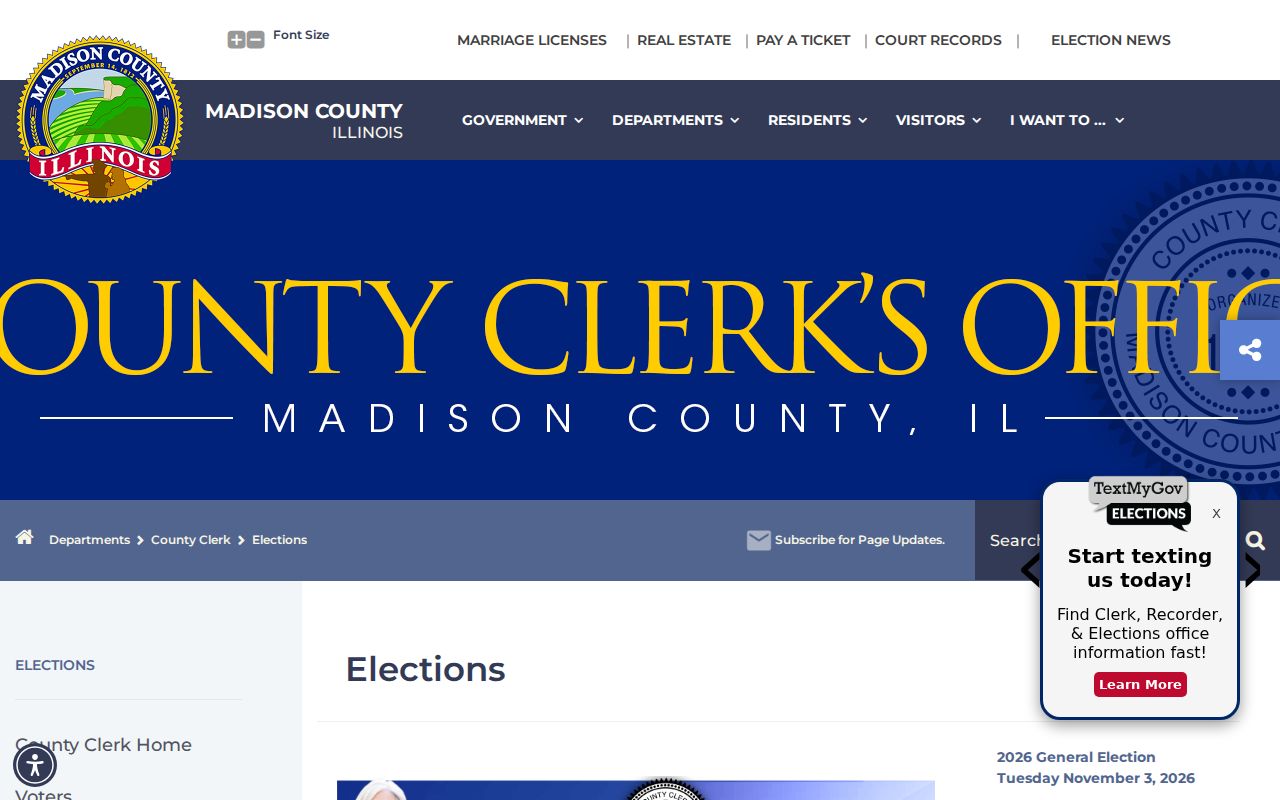
The county election page helps test district geography without presenting a ZIP-wide resident list.
Three Alton Address Types
A ZIP result becomes clearer when the address type is labeled. Public records for Alton can show several addresses for the same parcel or owner. None should be copied into a claim about who currently occupies a home without another direct source.
- Situs address
- The physical location of a parcel, used by GIS, code, permits, and assessment searches.
- Owner mailing address
- The destination for tax correspondence. It may be outside Alton and does not prove residence.
- Postal address
- The USPS-standardized delivery line and ZIP, which may use a city label that differs from incorporation.
- Legal description
- Recorded lot, block, subdivision, or metes-and-bounds text that links land across address changes.
For a current location, begin with the situs address and parcel PIN. Use the mailing ZIP only to interpret the tax record. Use the legal description when an old street name, split parcel, suffix, or boundary makes the text address unreliable.
Historical Alton ZIP Research
Older Alton directories and maps predate the modern format of a standardized street line plus ZIP. Preserve the label found in the source, then normalize it. The City Code Library's street-name appendix and ward descriptions can explain a road name or boundary. Sanborn maps, plats, and Recorder legal descriptions connect the old label to a lot or tract. Hayner directories can test whether a volume used Alton, Upper Alton, East Alton, or another nearby name.
A reliable sequence is USPS for the current line, DEVNET for the site parcel, GIS for municipal and parcel context, then code, map, directory, and deed sources for an older form. No official source established a citywide Alton renumbering date, so do not assign one based on a mismatch. Search the record date and custodian first.
Note: A historical directory entry should retain its original place wording beside the current normalized address and ZIP.
Alton ZIP and City Limits
USPS ZIP Codes organize mail delivery. Alton city limits define municipal jurisdiction. Madison County parcel lines identify land, while Census ZCTA 62002 supports statistics. The systems overlap but do not share one boundary. A valid Alton postal label therefore cannot settle which city office holds a permit, whether a parcel is incorporated, or which district map applies.
For one address, verify the mailing line with USPS, then compare the GIS city field, municipal layer, PIN, and Recorder legal description. If the issue concerns a city form or public record, ask the City of Alton whether it holds the record. County and state systems remain the correct custodians for parcel, court, voter, and many vital records even when the mail says Alton.
- ZIP and ZIP+4
- A ZIP is the five-digit delivery area. ZIP+4 adds a segment that narrows delivery within it.
- PO-box ZIP
- A code assigned to post-office-box delivery rather than ordinary street delivery. None was verified here for incorporated Alton.
- Unique ZIP
- A code assigned to one high-volume organization. No unique Alton code was confirmed in the official research.
- Carrier route
- A group of delivery points served along one postal route, not a legal neighborhood or resident roll.
The final Alton ZIP code directory rule is simple: let each custodian answer only the boundary or record question it actually controls.