
Records That Place Alton Neighbors
No official roll lists every person on an Alton block. Parcel and assessment systems name legal or tax-related owners. Voter tools serve election purposes and carry strict limits. Historical directories may identify past occupants, but Hayner's run is incomplete and a reverse section is not promised in every volume. Use each source only for what it can establish.
| Source | Block Evidence | Access and Limit |
|---|---|---|
| Madison County GIS | Parcel polygons, site addresses, owner and mailing fields, ZIP, size, roads, and buildings | Free map; informational, not a title survey |
| DEVNET street range | Assessment parcels for a number range, plus owner and tax filters | Free; owner is not every occupant |
| Recorder deeds and plats | Lot and block descriptions, transfers, easements, and subdivision changes | Web and office routes; online cutoff unstated |
| Voter tools | Permitted individual registration or district confirmation | Restricted use; not an open block roster |
| City code files | Possible permit, inspection, address, and code activity | No public historic index found; request may be needed |
| Hayner directories | Past occupants by year and address when a volume supports it | Incomplete collection; reverse access varies |
Owner and occupant are different facts. A mailing field may point to an out-of-area address, an estate, a trust, or a company. A parcel record can help contact an owner about a boundary or shared improvement, but it cannot identify each adult, child, boarder, or visitor.
Map Nearby Alton Parcels
Begin with one known address in the Madison County DEVNET search. Copy the site address and PIN, the parcel identification number. Then open the Madison County GIS Viewer. The county parcel layer accepts a dashed PIN, an undashed county PIN, an owner-last-name search, and drawn spatial geometry.
- Locate the target parcel by its exact PIN or site address.
- Zoom until the nearby lot lines and buildings are clear.
- Click adjoining parcels, or draw a small extent or polygon around the immediate block.
- Save each returned PIN, site address, owner label, mailing field, acreage or square feet, and ZIP.
- Reconcile the map results with a narrow DEVNET house-number range.
The viewer supports point, polyline, extent, and polygon searches, but no radius-distance control or export was documented. Keep the selection small. Alley parcels, public facilities, condos, split lots, and an unincorporated edge can make the row count differ from the number of visible homes.
For a complete named-street workflow, use the Alton street directory rather than expanding a block search beyond its purpose.
Read Alton Neighbor Parcel Fields
The county's CCAO parcel-owner layer separates site and mailing data. This matters when determining what a map result says about nearby households. The site fields locate land. The owner fields identify the name carried by the assessment layer. The mailing fields route tax correspondence and may lead elsewhere.
| Field Group | Useful Fields | Meaning |
|---|---|---|
| Parcel key | PIN, CO_PIN | Dashes or no dashes for the same parcel identity |
| Site address | NUM, suffix, prefix, street, type, city, ZIP | Physical location recorded for the parcel |
| Owner | First, middle initial, last, suffix, full name | Assessment owner label, not a household roster |
| Mailing | Address lines, city, state, ZIP | Tax-bill destination, which may differ from the site |
| Size | Square feet and acres | Helps distinguish lots and nonresidential tracts |
GIS layers also include municipal and county boundaries, roads, trails, railroads, streams, structures, and imagery from several years. Those layers help explain the block. They do not prove legal title, exact boundary survey lines, or who sleeps at an address.
Note: Save the PIN rather than relying on a name, since owner labels can change while the parcel remains the same.
Plats Explain Alton Block Shapes
A current parcel map may hide how an Alton block developed. The Tapestry public land-record entry is one route to Madison County recorded instruments.
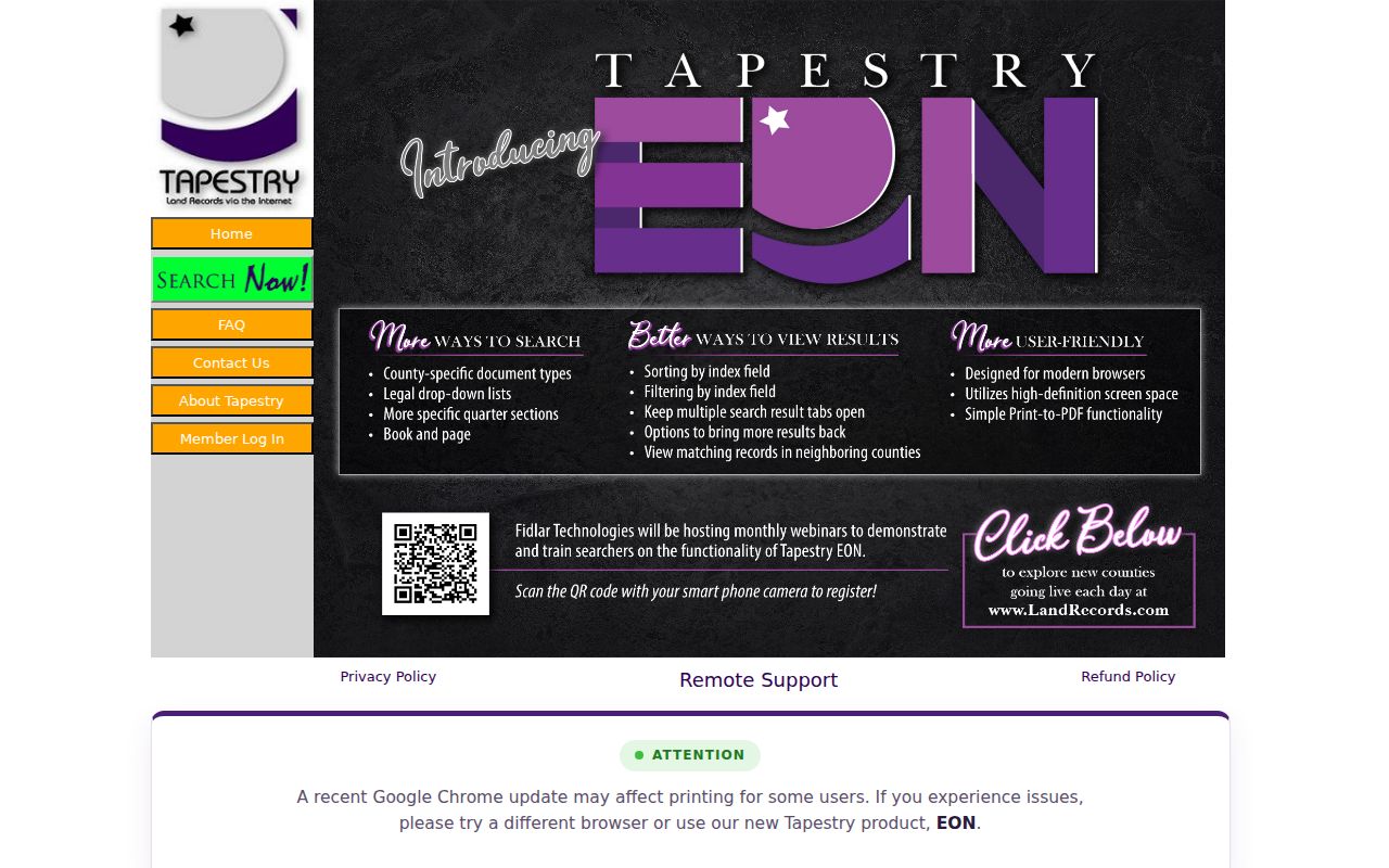
The capture points to the Recorder's public search path. A plat or deed can explain why one apparent yard contains two parcels, why an alley retains a separate tract, or why several assessment rows share one street number.
Record the lot, block, subdivision, book and page, and document number. A legal description ties modern parcels to older maps more reliably than a street string. The Recorder keeps plats, surveys, easements, restrictions, deeds, releases, and related instruments, but it does not perform title searches for the public.
Historic Maps Show Earlier Alton Blocks
The 1892 Library of Congress Sanborn map set and the 1926 University of Illinois set show Alton's built setting at two useful dates. They can reveal street labels, lot and block arrangements, building footprints, materials, alleys, and commercial or industrial uses. They are not household directories.
Historic block research works best when the map and directory are close in date. First identify the sheet, printed street, and lot. Next copy the directory entry without modernizing its spelling. A later GIS outline may not match the earlier lot because of a split, consolidation, alley change, or new structure. Recorder plats can resolve that change. Newspapers and city records may then explain a business use, demolition, or civic project. This layered method adds local context without turning a map into unsupported evidence about a named person.
Hayner Public Library holds Alton city directories beginning in 1858, though the run is incomplete. Pair a map sheet with a directory from a nearby year. If the volume has a street or reverse section, copy the address exactly. If it does not, use an occupant name from another record and check the alphabetical section. Keep Alton, Upper Alton, Wood River, and East Alton labels as printed until the parcel or map resolves them.
Alton Neighbor Voter Data Is Limited
The Illinois registration lookup asks for first name, last name, birth date, five-digit ZIP, street number, and a street name selected from a dynamic control. It is an individual verification tool, not a way to list every voter on an Alton block. A failed match can reflect spelling, status, address format, or a protected record.
The county's Madison County Election History database provides official historical contests, questions, candidates, voters, and documents.
This historical database is not the same as current voter registration and cannot reveal a person's ballot choice.
Illinois restricts voter-file access and use under the Election Code. Protected or sensitive fields can be withheld or redacted, and the statewide public-inspection route is not an unrestricted download. Do not repeat searches to recreate a household list.
Public Groups Add Alton Block Context
No official citywide HOA directory, block-watch roster, or congregation roster was found for Alton. Do not invent one or request private membership lists. Public groups can still explain a district, project, landmark, or civic boundary without naming households.
Alton Main Street
Downtown organization active since 1995. Its public work adds district and event context, not a member roster.
Historical Commission
City commission records include historic-area inventories, designated landmarks and districts, maps, agendas, and minutes.
Illinois Main Street
State network listing identifies Alton Main Street as an accredited program.
The City's downtown map can orient a riverfront block, while Historical Commission materials can place land in a named district. Neither source proves that a person lives nearby. Treat community context and resident identity as separate layers.
Official Records Beat Neighbor Compilations
Commercial neighbor tools often merge old addresses, relatives, and records from different people. Official sources are narrower, but each has a named custodian and a defined purpose. That makes errors easier to trace and correct.
| Question | Official Alton Route | Commercial Compilation Risk |
|---|---|---|
| Which parcel adjoins mine? | County GIS geometry and PIN | Address lists may ignore parcel lines |
| Who holds the assessed owner label? | DEVNET, then Recorder if title matters | Stale or merged owner names |
| How did the block change? | Plats, deeds, maps, and dated directories | Unclear source dates |
| How can an error be checked? | Return to the responsible custodian | Opt-out and correction paths vary |
A county owner field can still be wrong or outdated, so verify a material question with the Recorder. Opting out of a private compilation does not remove a deed, tax record, court file, or newspaper from its official source.
Alton Neighbor Lookup Privacy Limits
Illinois FOIA permits redaction of private information, unique identifiers, personal details whose release would be an unwarranted invasion of privacy, and records that create safety or law-enforcement concerns. The FOIA exemption statute is shown in the official capture below.
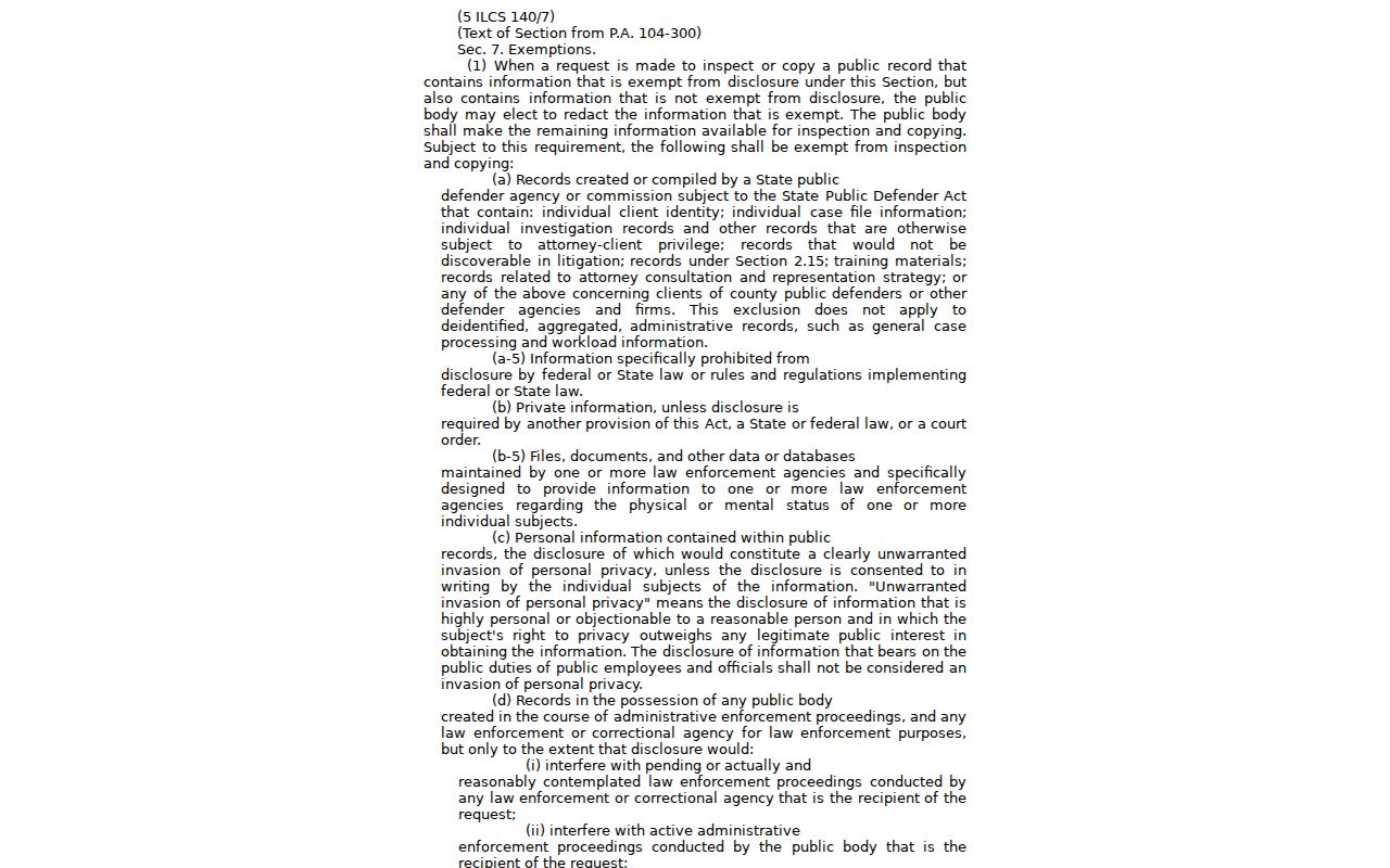
The law supports focused, record-based requests and redaction. It does not create a right to utility customer data, motor-vehicle addresses, private delivery details, or every household member's name.
The county's records request information illustrates that even a public office can require the right request route and eligibility for a particular record.
This distinction prevents a general block inquiry from being treated as automatic access to restricted personal records.
Illinois' Address Confidentiality Program offers a substitute address to qualifying survivors. It can protect new public records and voter details, though it cannot erase every older deed or publication. A hidden or substitute address must never be reverse engineered.
Lawful use. Use Alton neighbor records for civic curiosity, boundary questions, reconnection, and personal safety awareness. Never monitor, intimidate, or harass anyone.
Note: A parcel owner is not proof of occupancy, and a missing public result is not proof that nobody lives there.